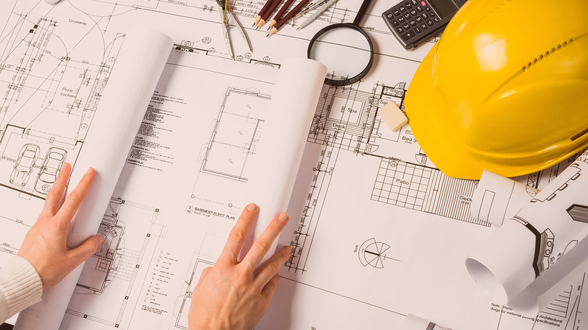
Construction Company
Designing Your Dream
K
Project Done
K
Happy Client
%
Client Satisfied
SurveyRidge is here to build your construction for the country gained century of development in new era of machine.
Reviews from K clients

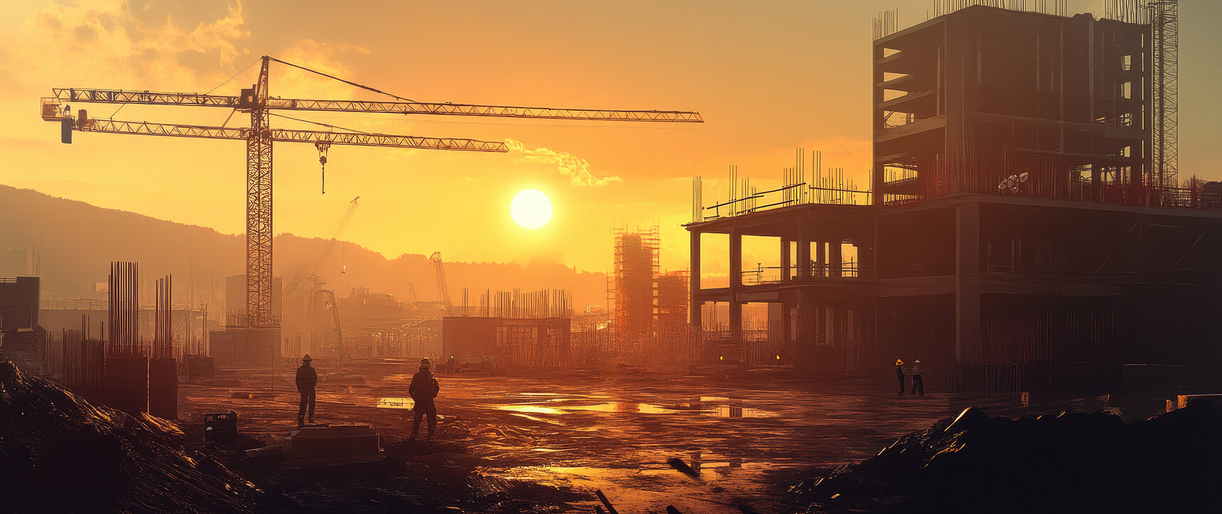
Construction
Architecture
Project Planning
Interior
Construction
Architecture
Project Planning
Interior
Construction
Architecture
Project Planning
Interior
Construction
Architecture
Project Planning
Interior
Precision Built Into Every Project
Clarity in Every Line
Every measurement, boundary, and elevation is backed by rigorous fieldwork and QA.
Tech-Driven Accuracy
We use modern tools to capture, process, and deliver real-world site data – faster and more reliably.
Precision Built Into Every Project
Our team understands regional code, permitting processes, and land challenges in cities and counties.


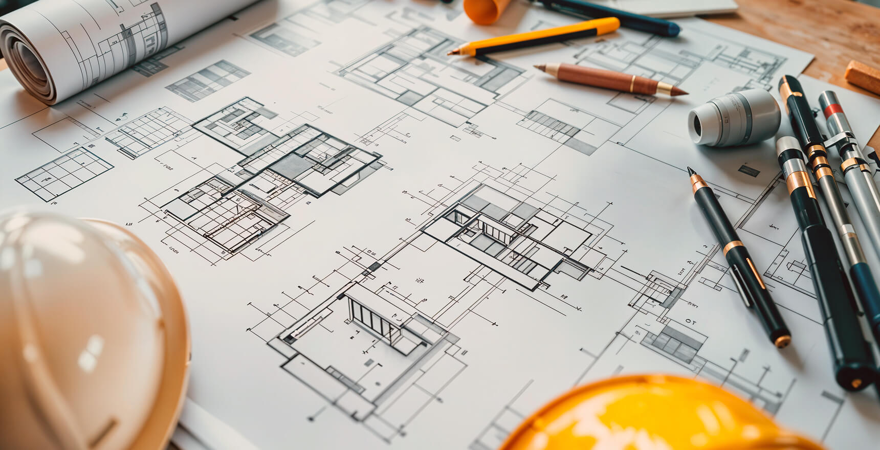
What We Offer
We want every employee and trade partner to feel that they are part of a common good and cohensive team. We help our teams form stronger

Construction

We want every employee and trade for the partner to feel that they are part common good and cohesive team.
See Our ServiceArchitecture

Our architects work closely with clients to understand their vision and transform it into a reality With cutting-edge tools.
See Our ServiceProject Planning
We coordinate with all stakeholders, ensuring clear communication, efficient timelines, and cost-effective solutions.
See Our ServiceInterior

Our team selects materials, colors, and layouts that enhance both aesthetics and usability, ensuring the space.
See Our ServiceThe SurveyRidge Working Process
Consultation & Site Details
We begin with a discovery meeting a call to understand your goals, site location, and technical needs.
1
On-Site Data Capture
Our licensed surveyors visit your property using GPS, drones, industry-standard tools to collect real-time data.
2
Planning and Drafting
We create clear, regulation-ready plans including boundary maps, site layouts, and drainage designs.
3
Final Review and Delivery
We begin with a discovery meeting a call to understand your goals, site location, and technical needs.
4
Ww Provide professional construction
Rural Subdivision Layout
Location: Birmingham
Completed full-scale surveying and lot plotting for an 80-acre conversion project, enabling phased development with clear easements.
Rural Subdivision Layout
Location: Birmingham
Completed full-scale surveying and lot plotting for an 80-acre conversion project, enabling phased development with clear easements.
Drainage Design Project
Location: Manchester Suburb
Engineered a detailed drainage and trench system for a high-rainfall zone, including runoff modeling, stormwater detention design.
Renovation Mapping Project
Location: Bristol
Conducted 3D structural scans & retroactive blueprint creation for a historic estate renovation, ensuring accuracy.
Meet the Team That Guides Your Project

James Whitmore
Lead Civil Engineer

Daniel Rodriguez
Environmental & Drainage Engineer

Olivia Linford
CAD and Drafting Manager

DMartin D’Souza
Licensed Land Surveyor
What our clients say
from + reviews
“Professional, precise, and dependable. The team delivered detailed site layouts that helped us move forward with confidence. They handled everything - from the fieldwork to the final plans.”

Arlene McCoy
CEO at saira
“Outstanding service and attention to detail. Their expertise in land surveying and site planning exceeded our expectations. The team was responsive and delivered results on time.”

John Smith
Project Manager at BuildCo
“Highly professional team with excellent technical skills. They provided comprehensive drainage solutions and site analysis that made our project a success.”

Sarah Johnson
Director at Urban Developers
“Exceptional quality and reliability. Their surveying work was thorough and accurate, helping us avoid costly mistakes during construction. Highly recommend their services.”

Michael Brown
CEO at Construct Ltd


Everything You Need to Know
Explore our FAQ section to get clear, detailed answers about SurveyRidge’s process, services, timelines, and what you can expect when working with our team of trusted property surveyors.
What types of land surveys do you offer?
We provides a full range of surveys including boundary surveys, topographic mapping, construction layout surveys, subdivision surveys, and legal documentation you needs.
How long does a typical survey take
Most residential surveys are completed within a few days, while larger or more detailed projects may take one to two weeks.
Do I need a land survey before buying or selling your property
Yes. A land survey provides an accurate picture of property boundaries, easements, and potential issues.
Can you handle permitting and zoning requirements
Absolutely. Our team is experienced in local permitting and zoning regulations. We prepare the necessary documents, coordinate with municipalities.
Get in Touch with us
Phone
Office Address
6391 Elgin St. Celina, Delaware 10299
Business Hours
Mon - Fri: 9:00 AM - 6:00 PM
Sat: 10:00 AM - 2:00 PM
We want every employee and trade partner feel that they are part of a common good every employee and trade partner feel that they are part of a common good
Let’s work with us
Insights From the Field with the professionals

How Boundary Surveys Prevent Property Disputes
Ethan Jones
Aug 1, 2025
We break down how accurate land surveys protect your ownership rights and bring clarity to property boundaries.

What You Should Know Before Building Your Property
Michael Carter
Feb 2, 2025
Starting a property project without proper knowledge can often lead to unexpected challenges. From understanding land surveys and legal boundaries to plan.

Civil Engineering Shouldn't Mistakes This Topics.
Michael Carter
Aug 10, 2025
Civil engineering projects demand accuracy, and even small mistakes can turn into major risks. This blog explores some of the most overlooked topics in the field.